Partition Seminar
Lucy Chester, Associate Professor, University of Colorado Boulder
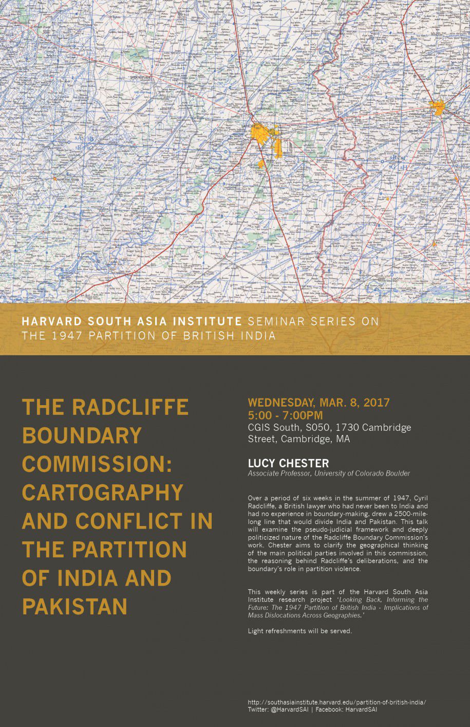
Over a period of six weeks in the summer of 1947, Cyril Radcliffe, a British lawyer who had never been to India and had no experience in boundary-making, drew a 2500-mile-long line that would divide India and Pakistan. This talk will examine the pseudo-judicial framework and deeply politicized nature of the Radcliffe Boundary Commission’s work. I aim to clarify the geographical thinking of the main political parties involved in this commission, the reasoning behind Radcliffe’s deliberations, and the boundary’s role in partition violence.
The role of maps, as texts that communicate contemporary attitudes and beliefs, will receive particular attention. Many of the maps used in this division had been created as tools of colonial control. The “silences” of such maps, such as the absence of information about the inhabitants of the territory depicted, significantly impacted the Radcliffe Commission’s work. Other maps were the product of nationalist attempts to shape independent South Asia. They had silences of their own, with costs and benefits that continue to influence what is arguably a still unfolding partition.
Light refreshments will be served.
This series, part of the SAI research project ‘Looking Back, Informing the Future: The 1947 Partition of British India – Implications of Mass Dislocations Across Geographies’ will explore issues that have often been ignored in the context of the Partition as well as discuss their relevance and impact today, both in South Asia and in other parts of the world. Through two-hour seminars spread over eight sessions, faculty, students, and community members will be brought together to explore the various facets of this complex historic event.
See a full list of Partition seminars.
Add to your calendar. | Facebook Event