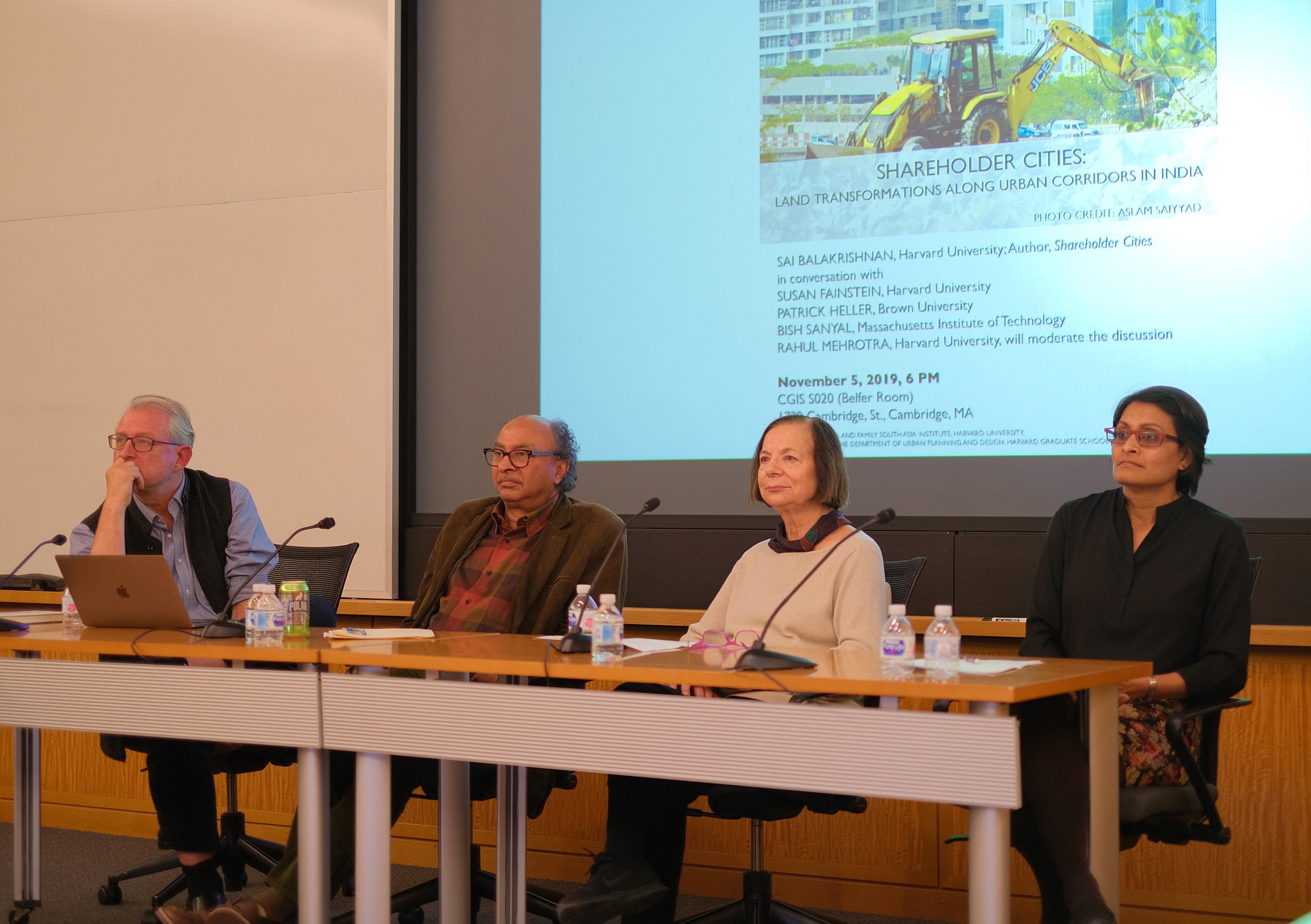
“If we look at some of the most contentious land conflicts over the past decade, we realize that the new economic corridors are not anachronistic to the agrarian countryside. Instead, they accrete onto former agricultural modernization programs of the Green Revolution. The Green Revolution helped consolidate … provincial propertied classes — and these agrarian propertied classes are at the forefront of these corridor conflicts,” said Sai Balakrishnan, Assistant Professor of Urban Planning at the Harvard Graduate School of Design, in her talk this week on economic corridors in India and the infrastructural urbanizing development projects that come with them.
At the crux of Balakrishnan’s research lies the question: “What new urban purities emerge when older histories of agrarian capitalism and caste-class formation collide, collude, and recombine with new economic corridors and corridor cities?”
Urbanizing the Countryside
In 1991, the central Indian government introduced two sets of reforms. The first centered on economic liberalization, and the other focused on democratic decentralization. “The economic liberalization reforms introduced a wave of new market relations in an otherwise tightly regulated, state-led economy. Of particular relevance to the new economic corridors, new infrastructure and urban policies were introduced, with the intent of transforming agricultural land into a trans-national real estate market,” said Balakrishnan.
Focusing on the region of Western Maharashtra, Balakrishnan discussed the urbanization of the agrarian countryside of India within the context of economic liberalization and democratic decentralization. The region is the site of the first economic corridor in India, the Mumbai-Pune Expressway, and has a high concentration of post-liberalization logistics infrastructure. Along the expressway, three new cities have been built — Magarpatta, Lavasa, and Khed City — each with a different outcome. These cities cannot be viewed as isolated cases; instead, these varied distributional outcomes reflect prior patterns of uneven agrarian development.
Magarpatta
In Magarpatta, “corridor regions have erupted in some of the most violent and volatile land conflicts between agrarian protestors and urban-oriented infrastructure promoters,” said Balakrishnan. She noted that Magarpatta is a unique case: rather than face displacement, agrarian landowners voluntarily came together to pool their fragmented agricultural lands. “However, if we look at the region’s land markets in the early 20th century, we realize that it was an arid region. It took massive irrigation canals built by the colonial and postcolonial state to transform this arid region into the epicenter of production for a water-guzzling cash-crop like sugarcane. The same caste privileges that helped produce the sugar economy in this region are now being reproduced in the new real estate companies of sugarcane-shareholders,” Balakrishnan explained.
Lavasa
Lavasa emerged in the Mulshi region of Maharashtra, an area that Balakrishnan notes has some of the highest-densities of big towns in India due to its relative location to an important mountain range. In fact, the irrigation waters for the Magarpatta region were drawn from the dams in Mulshi. “The devaluation of the Mulshi lands started changing with the building of the Mumbai-Pune Expressway,” said Balakrishnan. “The Mulshi region, which was actively devalued in an agrarian economy, is now seeing new rushes of speculative real estate capital due to its proximity to the economic corridor. The advantageous location makes it a favorable destination for mega private cities — and one of these cities is Lavasa.” The city, immense at 25,000 acres, did not follow the farmers-as-shareholders pattern of Magarpatta, and its emergence led to widespread displacement of mainly Adivasi indigenous groups.
Khed City
“The third case, Khed City, offers interesting insights on the disruption of agrarian caste-class dynamics,” said Balakrishnan. With the creation of the new economic corridor came a disturbance to the land-based forms of social power. “Advantageously located wastelands can now fetch a higher market price than disadvantageously located fertile sugar fields. The price of wasteland that is owned by the Adivasis is almost 1.5 times the price of irrigated land in the epicenter of the sugar constituency,” she noted. “In an urbanizing society, proximity to economic corridors matters as much — if not more — than proximity to irrigation canals, and this has implications for indigenous groups, who are now using the revaluation of their former waste lands to break agrarian relations of dependency with upper-caste agrarian landowners.”
Concluding her talk, Balakrishnan noted that her book, Shareholder Cities: Land Transformations Along Urban Corridors in India, “is a call to planners to reimagine the institutions we made, to formally entrench land-use planning back in the public domain, where it belongs.”
