
Dr. Mir Sumira is a Fulbright-Nehru Postdoctoral Fellow at Harvard University’s Lakshmi Mittal and Family South Asia Institute, working with Prof. Satchit Balsari, Associate Professor in Emergency Medicine at Harvard Medical School. She studies disaster risk reduction, climate resilience, and sustainable development, with a focus on vulnerable mountain regions. Her current research uses geospatial technologies to develop a GIS-based Digital Land Resilience Model (DLRM) to help assess climate risks and land resilience in rapidly growing metropolitan areas of the Indian Himalayas.
In this Q&A, Sumira discusses her research, how the model works, and how it could help Himalayan cities better understand climate-related risks and plan for a more resilient future.
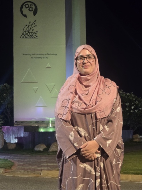
Dr. Mir Sumira is a Fulbright-Nehru Postdoctoral Fellow
Mittal Institute: Welcome, Dr. Sumira! Can you tell us a little about your background and what led you to focus on disaster management and climate resilience? Was there a particular experience that sparked your interest?
Mir Sumira: I hold a Ph.D. in Disaster Management from the University of Kashmir, where my research focused on disaster risks in educational institutions in Central Kashmir. Growing up in the Kashmir, where communities face earthquakes, floods, and landslides, inspired me to understand how science, GIS, and planning can help reduce risks and build resilient communities.
Mittal Institute: Your work looks at disaster risk, climate resilience, and sustainable development. How do these issues connect in the Himalayan region, and why is it important to consider them together?
Mir Sumira: The Himalayas are highly vulnerable to natural hazards, while climate change and rapid urbanisation are increasing these risks. Disaster risk, climate resilience, and sustainable development are interconnected because decisions about land use, infrastructure, and urban growth directly influence people’s safety and the environment. Addressing them together is essential for sustainable mountain development.
Mittal Institute: As a Fulbright-Nehru Postdoctoral Research Fellow, you’re developing a digital land resilience model for rapidly growing Himalayan cities. Can you explain how it works and what kinds of information it brings together?
Mir Sumira: The model integrates GIS, remote sensing, satellite imagery, terrain characteristics, land-use patterns, hazard exposure, and urban growth data to understand how resilient different areas are to environmental risks. It aims to identify vulnerable locations, assess development pressures, and provide a spatial framework for more informed, evidence-based urban planning.
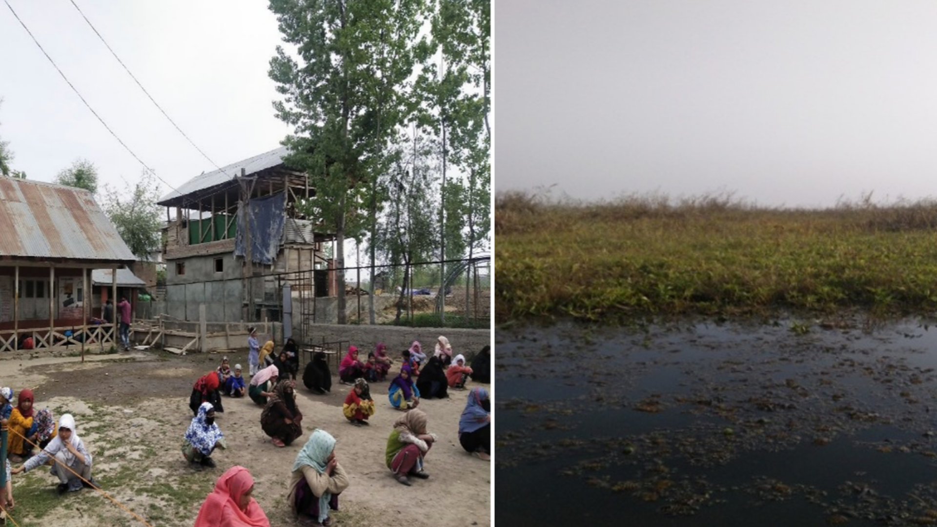
Left image: Children at school in Srinagar. Right: A flood-prone area of Srinagar. Images courtesy Dr. Sumira.
Mittal Institute: How might this model be used in practice? For example, could it help a Himalayan mountain city like Srinagar identify areas at risk or make different decisions about where and how to build?
Mir Sumira: Absolutely. In a city like Srinagar, the model could help identify flood-prone areas, environmentally sensitive zones, and locations where unplanned construction may increase disaster risks. It could support planners in making informed decisions about where to build, which areas to protect, and where climate-resilient infrastructure is most urgently needed.
Mittal Institute: What do you hope the opportunity to work with U.S. experts through the Fulbright-Nehru fellowship brings to your research? Are there any new approaches or ideas thus far that you’re excited to bring back to India?
Mir Sumira: The fellowship offers an opportunity to learn from interdisciplinary research, advanced geospatial methods, and innovative approaches to urban resilience. Working with experts at Harvard like Prof. Satchit Balsari will help me strengthen the integration of spatial science, policy, and decision-making so that the research can translate into practical solutions for Himalayan cities in India.
Mittal Institute: Looking ahead, how do you hope your research will shape the way India’s mountain cities prepare for climate change and manage urban growth over the next decade?
Mir Sumira: I hope my research contributes to a shift from reactive disaster management to proactive, risk-informed urban planning. Over the next decade, I envision digital resilience tools helping mountain cities anticipate climate risks, protect fragile ecosystems, guide responsible urban expansion, and build safer, more sustainable communities.
☆ The views represented herein are those of the interview subject and do not necessarily reflect the views of the Mittal Institute, its staff, or its steering committee.